News
October 2026 Many updates to watershedBC!
October 2026 Funded 2 yr MSc at UNBC - Glaciers, Snowpacks, and First Nations water security with Dr. Joseph Shea and the MOSH Lab
October 2026 Built an AR Sandbox using MagicSand!
September 2026 Start of the teaching semester: Introduction to Remote Sensing and Advanced GIS!
July 2026 Contributed ground temperature data to a new standardized permafrost database for Canada, led by colleagues at the University of Ottawa.
May 2026 Co-hosted a free Community Hydrometric Monitoring workshop at UNBC with the Upper Fraser Fisheries Conservation Alliance — 60 participants from First Nations, academia and government.
March 2026 Contributed to the UNBC Glacier Gallery, a photographic and cartographic exhibit curated by students and faculty.
February 2026 NRESi Colloquium talk at UNBC: From the Arctic to northern BC (recording).
January 2026 Profiled as a member of the Northern Studies group in The Northern Voice.
2026 New paper in The Cryosphere on satellite telemetry of surface ablation at Place Glacier, using loggers built in the lab.
2026 Released the Place Glacier smart ablation stake data and the RemoteLogger code and wiring diagrams on Zenodo.
2026 BatchPlanet, an R package for batch access to PlanetScope imagery, published in the Journal of Open Source Software.
2026 Co-authored a study on TTOP permafrost model performance across northern Canada in The Cryosphere.
2026 Siobhan Klassen and James Laing joined the lab as NSERC USRA undergraduate research assistants.
2026 Dr. Kristen Kieta joined the field season as a postdoctoral researcher, supervised with Dr. Philip Owens.
2026 Interviewed on Radio-Canada Phare Ouest — comment conserver l’eau dans un contexte de sécheresse?
2026 Interviewed on CBC Daybreak North about optimism and northern watersheds.
November 2025 Co-organized the Northern BC Stream Temperature Symposium at UNBC with Dr. Siraj ul Islam.
2025 Exceptional rise of transient snowlines across western North America and Alaska, published in Environmental Research Letters.
Full lists: publications · outreach and media · workshops
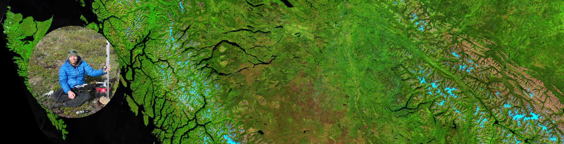
Hello! My name is Alex Bevington. I am an Assistant Professor in Geography, Earth and Environmental Sciences at the University of Northern British Columbia, and a Licensed Professional Agrologist. My interests are wide-ranging, but are generally captured by the following themes: Hydrology, Cryosphere, Geography, and Earth Observation.
Before joining UNBC I spent a decade with the BC Ministry of Forests as a Research Earth Scientist and then Research Hydrologist, work that still shapes how the lab operates: applied, open, and built around data that practitioners can actually use.
I lead the Watershed Remote Sensing Lab. The motivation of the lab is to tackle wicked problems in the world of water security and public safety, and contribute to solutions with science and research.
Projects and themes
RemoteLogger for Model Validation
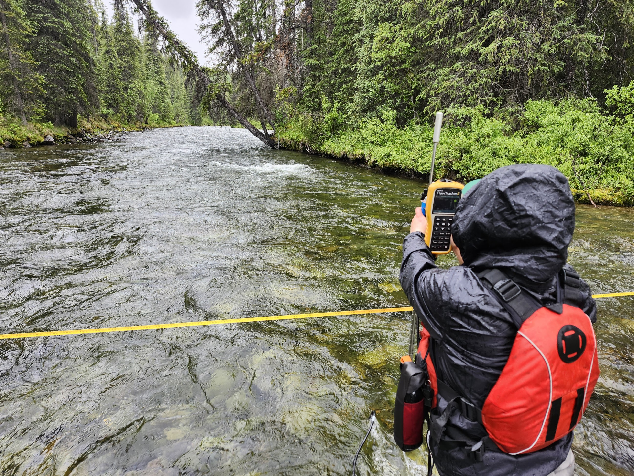
Low-cost real-time data loggers
https://watershed-rs.shinyapps.io/remotelogger/
We are developing modular, low-cost, and low-power data loggers for hydrological and environmental monitoring. The RemoteLogger system integrates in-situ sensors (e.g., water level, snow depth, water temperature) with real-time communication capabilities (e.g., wifi, LTE, or Iridium), offering scalable monitoring solutions for remote areas. RemoteLogger aims to help democratize access to environmental data by reducing costs while maintaining scientific-grade reliability.
watershedBC for Decision Support
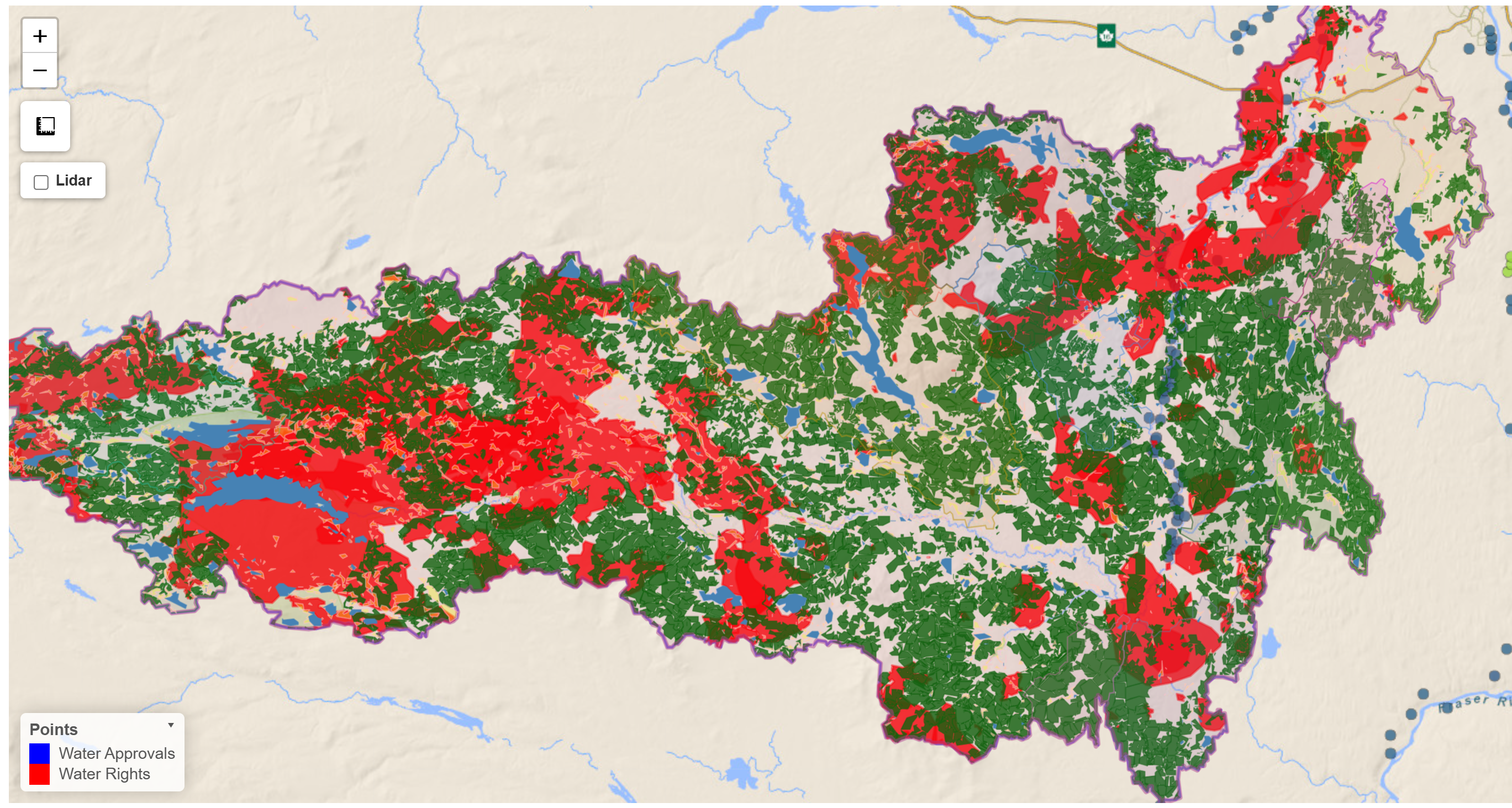
Interactive watershed information platform
https://www.watershedBC.ca/
WatershedBC is an open-access decision-support tool that enables users to quickly visualize and extract key information about watersheds across British Columbia. Designed for practitioners, researchers, and the public, it leverages provincial datasets and automated workflows to deliver insights on hydrology, land cover, and climate attributes at nested watershed scales. The goal is to create a framework for rapid watershed characterization that will evolve as new models and datasets emerge.
Rapid Cryospheric Change
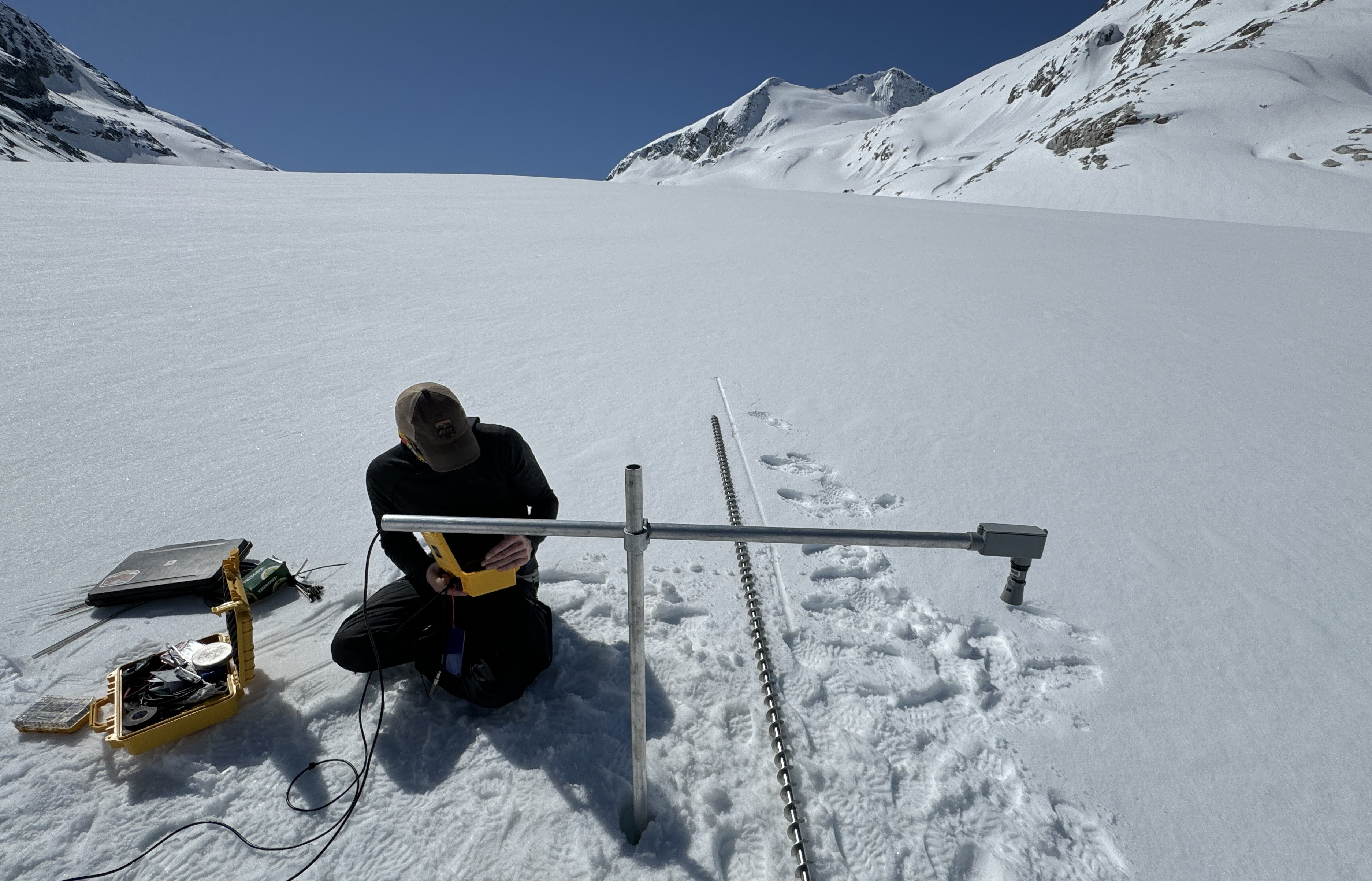
The cryosphere—including glaciers, seasonal snow, and permafrost—is one of the most visible indicators of climate change in western Canada. We combine in-situ measurements (mass balance, snow depth, borehole permafrost temperatures) with satellite observations and conceptual models to monitor change and explore its consequences for water resources, ecosystems, and communities. This work provides critical data for water supply planning, hazard assessments, and long-term climate adaptation strategies.
Understanding Mountain Hazards
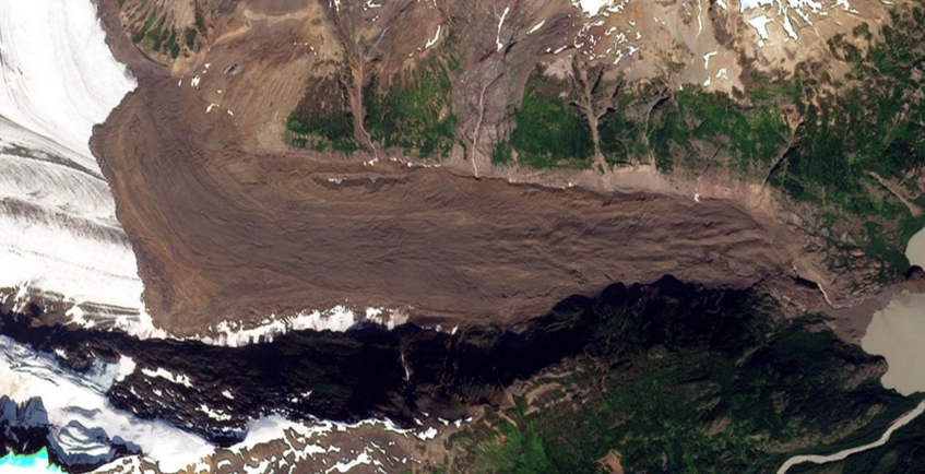
Landslide and flood hazards represent a significant risk to infrastructure and communities, particularly in mountainous terrain. This project focuses on building robust remote sensing workflows using, for example InSAR from Sentinel-1, RADARSAT Constellation Mission, and future missions (e.g., NASA–ISRO NISAR) to detect and track precursory slope deformation. Our objective is to transition InSAR from a research tool into an operational, near-real-time monitoring system that can support emergency management and land-use planning.
Temperature of Freshwater Systems
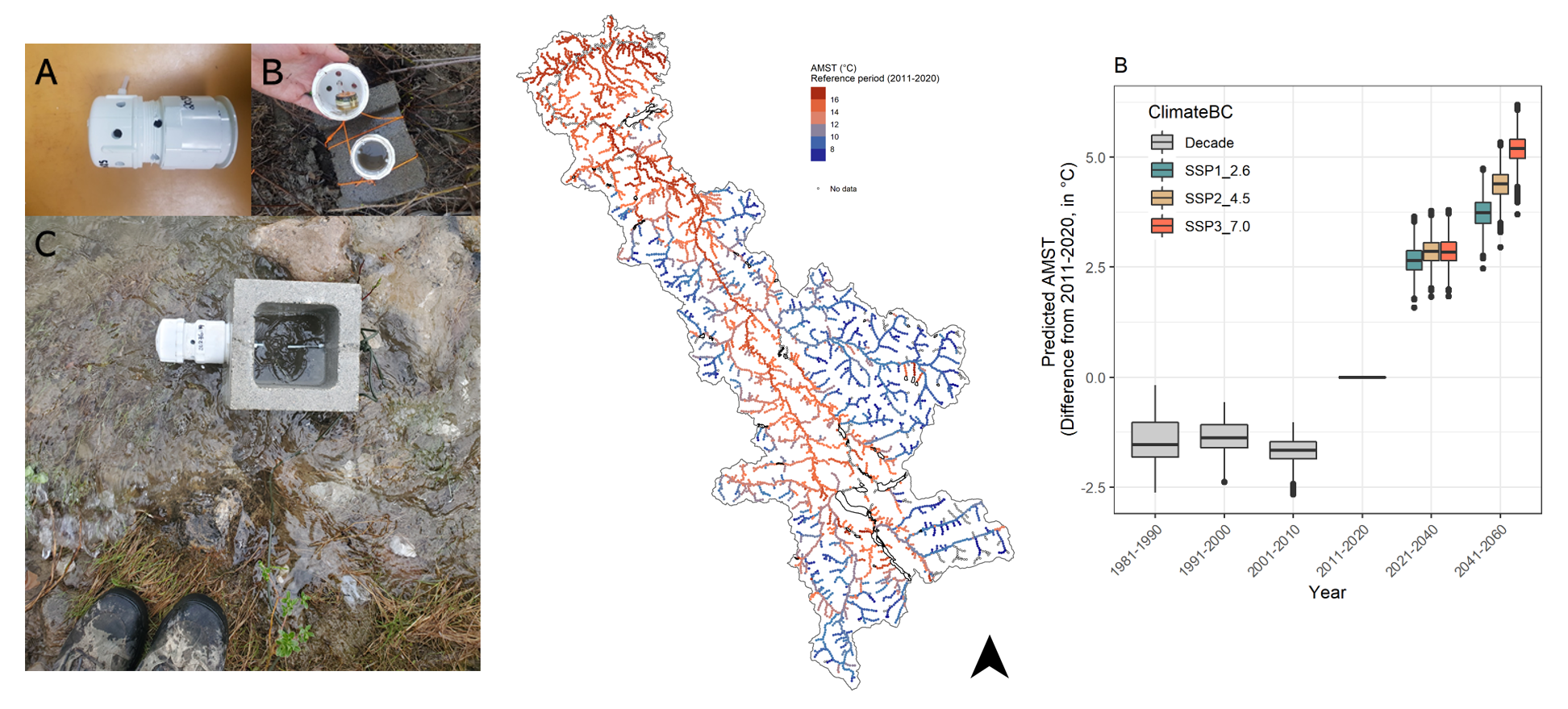
Water temperature regulates ecological processes and habitat viability for fish and other aquatic life. We are integrating field-based temperature monitoring networks with thermal infrared remote sensing and hydrological models to better understand the spatial and temporal dynamics of stream and lake temperatures. These datasets will help predict thermal stress on ecosystems under climate change and guide management strategies for cold-water refugia.
Shallow Surface Water and Groundwater Interactions
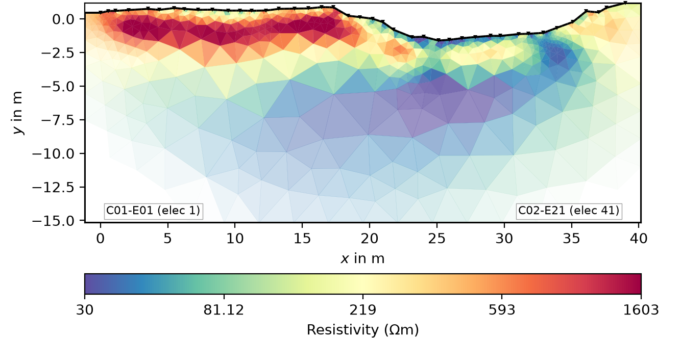
Surface water and groundwater are often managed as separate resources, but inmost watersheds they are a single connected system. Where and when that exchange happens controls low flows in late summer, the persistence of cold-water refugia, and how quickly a watershed recovers from drought or disturbance.
Integrated Remote Sensing Analysis
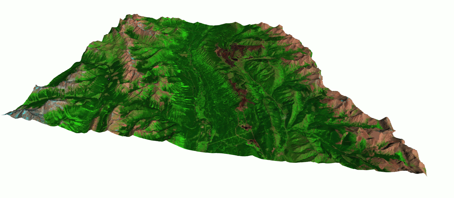
Our lab takes on a broad portfolio of remote sensing projects, reflecting the versatility of geospatial technologies. Current and past work includes: Time-series analysis of vegetation and disturbance dynamics; Development of novel cloud-free mosaic generation approaches; Multisensor fusion for forest attribute mapping; and Detection and attribution of human impacts on landscapes over time. This theme highlights classification, change detection, and statistical modeling of environmental processes using Earth observation data.
Partners
We work with First Nations, government agencies, fisheries authorities, and academic collaborators across British Columbia. Our research is shaped by the questions these partners bring forward.
First Nations
- Blueberry River First Nations
- Takla Nation
- Tsay Keh Dene Nation
- Lheidli T’enneh First Nation
- Upper Fraser Fisheries Conservation Alliance
- Skeena Fisheries Commission
- Gitanyow Fisheries Authority
Stewardship Organizations
- Nechako Environment and Water Stewardship Society
Provincial
- BC Ministry of Forests — Research
- BC Ministry of Water, Land and Resource Stewardship
- BC Energy Regulator
Academic
- VIU — Coastal Hydrology Research Lab
- UNBC — Cryosphere Lab
- UNBC — Mountain Snow Hydrology Lab
- UNBC — Hydroclimate Infomatics Lab
- UNBC — Northern Hydrometeorology Group